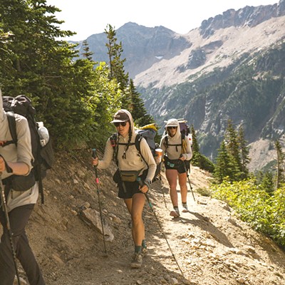
As the weather warms and the snow melts at higher elevations, trail users get more terrain to share. With almost 100 cars at Phil's trailhead at any given moment over Memorial Day weekend, spreading out the trail use is sorely needed. Let your tires and soles explore a little. The Farewell Trail connecting to Mrazek Trail is mostly snow-free but, as of this writing, still has a few trees across the trail. The same goes for trails in the Swampy Lakes Snow Park/Swede Ridge area. Skyliner trail is clear of snow and fallen trees and Horse Butte Trail (east of town) is in prime condition as well.
Beyond trail work, COTA's mission focuses on trail stewardship, advocacy and education. Stewardship takes many forms and all you need to do to become involved is show up for one of COTA's Weekly Trail Work Events. This Wednesday, June 9, come to Pine Mt. Sports at 5:30 p.m. to join a work crew. Next Wednesday, June 16, we'll meet at Webcyclery. For more information on COTA's trail work events and what's required, please visit COTA's website: www.cotamtb.com.
In other trail-building news, the first phase of a new Pump Track has been completed in the Phil's play zone along the old Shevlin-Hixon Haul Road. This creates a third opportunity for enhancing your skills, adding to the Slalom Play Loop and the dirt jumps installed last fall. For your safety, if you see them working, please give plenty of space to the Pump Track designers - local Pro Kirt Voreis and friends - otherwise, enjoy the new Pump Track!
COTA has recently installed new signs along some trails, road crossings and at junctions in the Wanoga area. You may notice a new kind of sign along the Funner and TiddlyWinks Trails this week. Since this entire area is purpose-built for competitive events, COTA has designed these trails to enable passing while maintaining a single-track racing experience. Some of these passing lanes are merely a trail split in two, while others have a more difficult and/or a longer option. The new signs you will see along the Funner Trail display a "Y" to indicate these passing lanes.
To delve into a little "education," I'm sure most mountain bikers have heard the mantra, "Uphill traffic has the right-of-way," but there's a bit more to it than that. Most of our local trails do not have passing lanes and sometimes it isn't clear which way is "uphill." COTA suggests, if in doubt, the uphill direction is heading away from the trailhead, unless it's clearly on a hill.
A practical solution for this right-of-way issue is for the downhill rider to stop and put a foot down to let the uphill riders pass. Just because there seems to be "open ground" along the sides of the trail doesn't mean it's OK to continue riding off the trail. Soil and vegetation are fragile here in Central Oregon and COTA discourages riding off the established trail tread (that's where the firm dirt is). Sometimes it isn't practical to stop, but it is always a good idea to communicate. Let's work together to prevent trail widening; after all, we want single track to remain single track!
Please email me about any trail issues you find out there: [email protected]. Thanks and Happy Trails!